
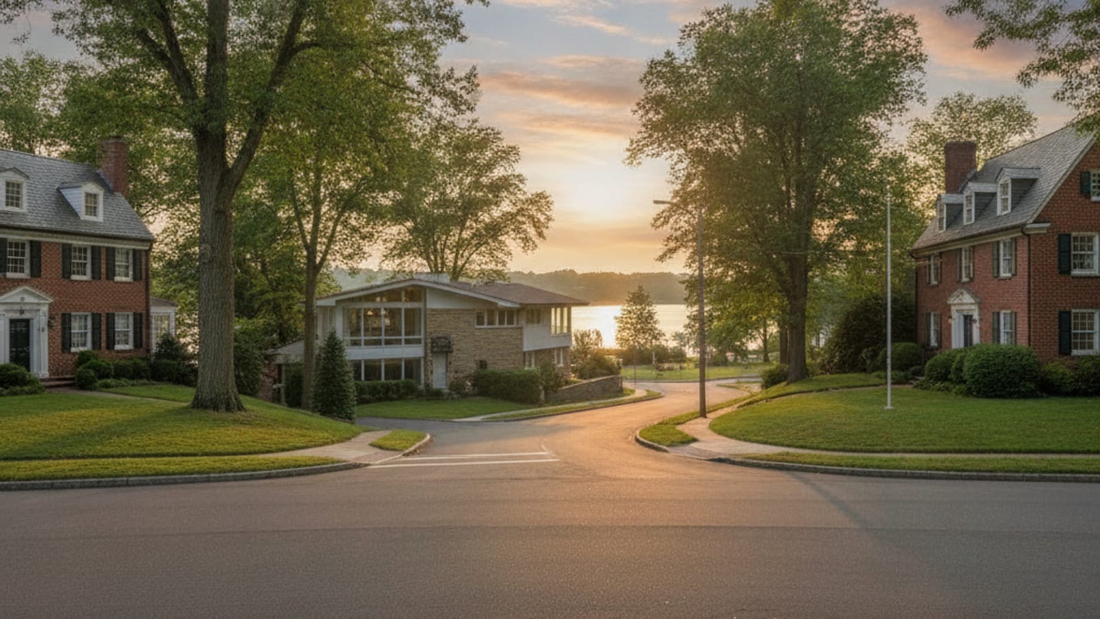
Belle Haven, Hollin Hall, and Fort Hunt home values follow patterns that have far more to do with geography and housing stock than with any single market moment. These three adjacent pockets along the southern Fairfax County shoreline each developed differently — different lot sizes, different eras of construction, different relationships to the Potomac River and the George Washington Memorial Parkway — and Fairfax County's real estate assessment records capture those distinctions in precise, parcel-by-parcel detail. For anyone trying to understand why a house on one street commands a dramatically different assessed value than a similar-looking house two blocks away, the county's published records are the most reliable starting point.
What Fairfax County Assessment Records Show About These Neighborhoods
Fairfax County conducts annual real estate assessments effective January 1 of each year, set at 100 percent of estimated fair market value. For 2025, the county reported that residential assessments rose an average of 6.65% countywide, with the average assessment across all homes reaching $794,000, according to Fairfax County's News Center (February 2025). That countywide figure covers every price range and every geography in a large, diverse county — it should never be read as a specific number for Belle Haven, Hollin Hall, or Fort Hunt.
What the records do allow, parcel by parcel, is a direct comparison of how the county weighs location premiums, lot size, structure age, and flood-risk factors within each of these communities. The county's assessors rely on recent sales in each neighborhood, the number of days homes have been on the market, improvements such as remodeling and additions, and physical characteristics including size, age, condition, and amenities, per the Fairfax County assessment methodology published alongside the 2025 figures.
Belle Haven: Waterfront Exposure and Flood Zone Complexity
Belle Haven sits closest to the Potomac, and that proximity cuts two ways in the county's assessment model. Parcels with direct water views or access — particularly those backing to the Belle Haven Marina or fronting Belle Haven Country Club's waterside edge — carry location premiums that the county's sales-comparison approach captures through the prices those homes have commanded relative to interior lots. At the same time, a meaningful portion of Belle Haven falls within FEMA-designated Special Flood Hazard Areas. Fairfax County assessors account for flood zone classification as a property characteristic that affects marketability; a parcel encumbered by FEMA Zone AE requirements for flood insurance and elevated construction carries a different risk profile than an identical-sized lot on higher ground.
The result is a wider spread of assessed values within Belle Haven than either Hollin Hall or Fort Hunt typically shows — the highest-assessed parcels cluster near the water on unencumbered ground, while flood-zone lots trade at a discount the assessment records reflect. For a deeper look at the specific pricing factors the county applies to Belle Haven parcels, the Belle Haven Alexandria Home Values pricing guide covers those drivers in full detail. If you are also considering a sale, the guide to selling your home in Belle Haven, VA walks through the process from pricing to closing.
How Belle Haven, Hollin Hall, and Fort Hunt Home Values Compare
Hollin Hall and Fort Hunt share a mid-century suburban character — most homes were built between the late 1940s and the 1970s — but the two communities differ in ways that Fairfax County's assessment records consistently reward or penalize. Hollin Hall lots tend to be slightly larger and more irregularly shaped, carved from gently rolling terrain that kept some parcels away from the parkway noise corridor. The housing stock includes a higher proportion of brick ramblers and expanded Cape Cods that owners have updated over decades; the county's assessors reward documented improvements, so a Hollin Hall rambler with a permitted addition and a renovated kitchen will carry a materially higher assessed value than a structurally similar but unimproved house nearby.
Fort Hunt, described in Fairfax County's official land-use documentation as predominantly low-density single-family development, features more consistently sized lots along a grid-influenced street pattern. That regularity gives the county's sales-comparison model more direct comparables, which tends to compress the spread between the lowest and highest assessed values within Fort Hunt relative to the wider range seen in Belle Haven. The Hollin Hall vs. Fort Hunt vs. Wellington comparison guide walks through the physical and locational differences in greater depth.
What Drives the Differences Between All Three Pockets
Several factors the county's assessors explicitly name account for most of the value variation across Belle Haven, Hollin Hall, and Fort Hunt:
- Lot size and shape. Fairfax County's assessment model prices usable square footage of land directly. Parcels in Belle Haven that front the water or sit on oversized lots — some exceeding a quarter-acre in a dense corridor — tend to show higher land-value components in the county's records than the more uniformly sized lots in the Fort Hunt grid.
- Age and condition of the structure. The county depreciates older structures but adds back value for permitted improvements. A 1955 brick rambler with a 2018 addition and a renovated basement will be assessed differently than a 1955 rambler left largely original, even on identical lots.
- Proximity to the George Washington Memorial Parkway. Homes immediately adjacent to the parkway corridor face noise and access constraints. Fairfax County assessors reflect this through the sales evidence of what buyers have paid for parkway-adjacent parcels versus interior lots — a discount that shows up in assessed values across all three communities but is most pronounced in Fort Hunt, where some residential streets back directly to the parkway buffer.
- Flood zone classification. FEMA Special Flood Hazard Area designations affect insurance costs, financing options, and resale velocity, all of which feed into the county's fair-market-value estimates. Belle Haven carries the highest concentration of flood-zone parcels among the three communities.
- Recent neighborhood sales volume and pace. The county explicitly uses economic factors — including average days on market and sales volume — as inputs. Across Fairfax County broadly, the median days on market stood at 37 days in August 2026, up 8.8% year-over-year, according to Realtor.com via FRED for that period. Slower-moving micro-markets within the county can soften assessments at the margin.
The Broader Fairfax County Market Context
Understanding where Belle Haven, Hollin Hall, and Fort Hunt sit within the larger county market helps frame what the assessment records mean in practice. Fairfax County recorded a median sold price of $752,250 in August 2026, down 0.4% versus the prior year, with a median of 13 days on market — one day faster than a year earlier. Based on information from Bright MLS for August 1, 2026 through August 31, 2026; data is reliable but not guaranteed. These are countywide figures covering every price range and every geography within Fairfax County; they are not specific to Belle Haven, Hollin Hall, or Fort Hunt.
What they establish is that the county's overall market remained active through mid-2026, with competitive absorption — context that assessors incorporate when calibrating fair-market-value estimates for annual assessment rolls. The Fairfax County active listing count reached 2,247 in August 2026, up 20.5% year-over-year, according to Realtor.com via FRED, a sign of incrementally more supply that may influence how quickly assessment values adjust in coming cycles. For the tax implications of those assessed values, the Fairfax County property tax rate guide for 2026 explains how the $1.12 per $100 rate translates to an annual bill. For broader context on how buying new construction in nearby Mount Vernon compares, that guide covers the pricing dynamics in the same southern Fairfax corridor.
Reading the Assessment Records Parcel by Parcel
Fairfax County makes its assessment records publicly accessible through its online Real Estate Assessment portal, updated annually. Each parcel record shows the land value and improvement value separately — a detail that matters when comparing Belle Haven waterfront lots (where land often represents a disproportionately large share of total assessed value) against Hollin Hall or Fort Hunt properties where the improvement carries more of the load.
Owners who believe their assessment overstates fair market value have a formal appeal path through the county's Board of Equalization, a process detailed in a separate guide for those considering that route. What the parcel-level data makes clear, year after year, is that micro-location — which street, which side of the parkway, which flood zone — matters more within these three communities than any single countywide trend. Buyers researching specific addresses can pull the county records directly, cross-reference the flood map, and arrive at the assessment with a clearer understanding of how those numbers were reached. To browse active listings across these communities, the Belle Haven homes for sale page is a useful starting point for seeing what current market pricing looks like alongside assessment context.
Based on information from Bright MLS for September 21, 2026 through September 27, 2026; data is reliable but not guaranteed.