A 286.3-acre National Register district that developed between about 1898 and 1953 and contains roughly 828 single-family houses alongside 22 commercial buildings, three churches, a school and a fire station.
Cherrydale is not a residential subdivision with shops nearby. It is a mixed-use district that grew that way from the start, and the survey behind its National Register listing of May 22, 2003, VDHR file 000-7821, records the mix precisely: about 828 single-family houses, 26 multifamily buildings, three churches and a school, 22 commercial buildings, and a fire station, spread over 286.3 acres developed between roughly 1898 and 1953. The name predates all of it. Dorsey Donaldson's cherry orchard gave the area its identity, and the post office had taken the name Cherrydale by 1839.
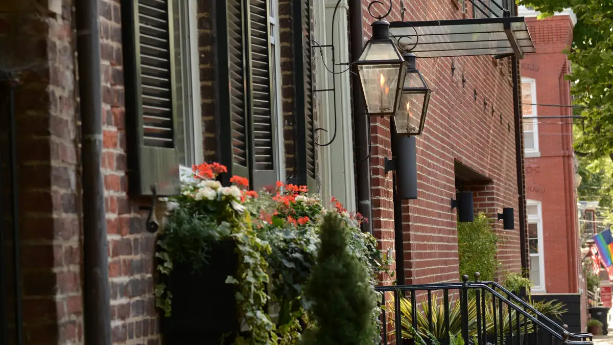
The Cherrydale Cement Block Company operated here, and its product is still visible in the housing stock. Concrete-block construction shows up in Cherrydale far more often than in neighboring Arlington neighborhoods of the same period, sometimes as the full wall system and sometimes as foundations, porches and outbuildings. For a buyer this is a real inspection item rather than a curiosity: block walls behave differently from frame in a renovation, they change how you insulate and how you cut in new openings, and a contractor pricing the job from photos of a frame house will be wrong.
Development spanning roughly 1898 to 1953 means the district holds turn-of-the-century houses, streetcar-era construction from the years the Great Falls & Old Dominion Railroad ran through, and postwar infill, often on the same street. Comparable sales have to be selected by era and construction type. The commercial frontage is part of the same fabric, so some residential blocks sit directly behind storefronts, and the relationship of a specific house to that frontage, to Langston Boulevard and to the fire station is worth checking on foot before you write.
The district is on the National Register, which is an honorific listing and does not by itself require design review for exterior work. Arlington's local historic districts are a separate and enforceable designation carrying a Certificate of Appropriateness requirement from the Historical Affairs and Landmark Review Board. Before you plan exterior changes to a Cherrydale property, confirm directly with Arlington's Historic Preservation Program whether any local designation touches that specific parcel, rather than assuming from the National Register listing in either direction.
Three things reward a phone call. First, zoning: Cherrydale's residential blocks sit in districts covered by Arlington's Expanded Housing Options rules, which as of August 2026 remained in force with the litigation pending at the Supreme Court of Virginia. Second, the county tree preservation and stormwater ordinances, which govern what you can clear and what you can pave. Third, schools: Arlington Public Schools assigns by address, boundaries are redrawn from time to time, and the three comprehensive high schools countywide are Washington-Liberty, Yorktown and Wakefield, so confirm the current assignment for the address with APS.
Bright MLS’s monthly figures for Arlington County as a whole, not for Cherrydale alone:
Based on information from Bright MLS for September 1, 2026 through September 30, 2026; data is reliable but not guaranteed.
Cherrydale sits within Arlington — that guide covers the zoning, permitting and site constraints that apply across the wider area. This page is a guide rather than a listings feed; to see what is actually on the market, search current Arlington, VA listings.
Artur can confirm what applies to a specific address here — lot, zoning, association documents and school assignment — before you write an offer.