
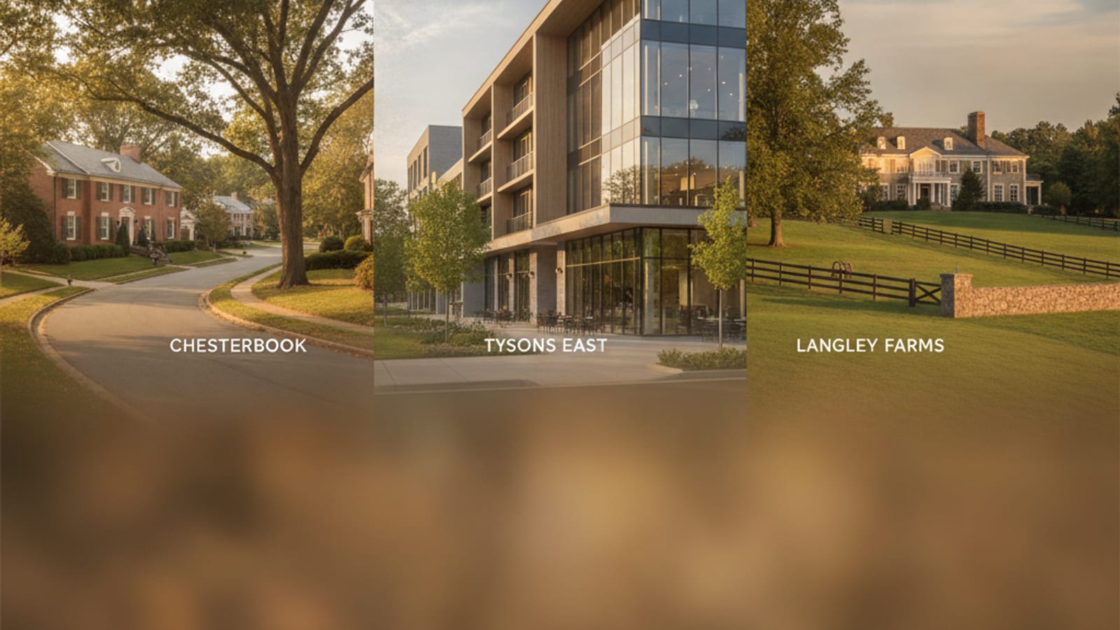
McLean sits along the Potomac on Fairfax County's northeastern edge, and it is not a single, uniform place — it is a collection of distinct residential pockets, each shaped by its own plat history, lot patterns and zoning. Knowing how McLean's neighborhoods differ can make the difference between a house on a quarter-acre lot near downtown and one on two acres along the Georgetown Pike corridor. This guide compares Langley Forest, Chesterbrook, Franklin Park, the village core and the larger-lot pockets toward Great Falls by land, housing stock, zoning and commute routes to Washington, DC and Tysons.
What Makes Langley Forest and the Georgetown Pike Corridor Stand Out?
Langley Forest lies on the north side of Georgetown Pike (Route 193), just east of the Capital Beltway, and the whole subdivision is zoned R-1. Lots are typically just under an acre, most between half an acre and an acre and a half, on heavily wooded land laid out in a largely straight grid with a few short courts. The original 1950s and 1960s brick ramblers and Cape Cods are now a minority: most of today's houses were built in 1990 or later, almost all as replacements.
R-1 is often called one-acre zoning, but one unit per acre is its density cap; the standard minimum lot is 36,000 square feet, about 0.83 acre, and some of Langley Forest's lots are smaller because they predate the current rules. On foot, the river is reachable through Scott's Run Nature Preserve, just west of the Beltway, where the Potomac Heritage Trail runs. The I-495 interchange on Georgetown Pike is under ten minutes away, with Route 123 (Dolley Madison Boulevard, then Chain Bridge Road) an alternative route into DC. Read the full Langley Forest neighborhood guide for its streets and housing patterns.
Chesterbrook Woods and Neighboring Plats: Mid-Century Bones, Generous Lots
The Chesterbrook name covers dozens of recorded plats with different zoning and schools; this section describes Chesterbrook Woods and the plats beside it, northeast of Old Dominion Drive and south of Route 123, against the Arlington County line on McLean's eastern edge. Chesterbrook Woods was developed mainly in the late 1950s and 1960s, with ramblers, split-levels, capes and brick-clad colonials on lots of a quarter-acre to just over half an acre, and many houses have been rebuilt since 2000. Zoning is R-2, two units per acre on lots of at least 15,000 square feet, denser than the Georgetown Pike corridor's R-1 and R-E.
The nearest shops are at the Chesterbrook Shopping Center on Old Dominion Drive. The Woods and Estates plats are assigned to Chesterbrook Elementary, across Old Dominion Drive; check any address with the FCPS boundary locator. Kirby Road leads to the Route 123 ramps for the George Washington Memorial Parkway and on toward Rosslyn. Explore the Chesterbrook Estates neighborhood guide for that plat's streets, zoning and schools, or the Chesterbrook Woods neighborhood guide for year-built and lot-size detail.
Franklin Park: A 1909 Plat With Nearly Half-Acre Lots
Franklin Park sits on McLean's southeastern edge, bounded loosely by Old Dominion Drive to the north and east and the Arlington County line to the south. Its plat dates from 1909 and its houses arrived one lot at a time over more than a century; a large share were built in 2000 or later. Lots are typically just under half an acre, smaller than Langley Forest.
Zoning here is R-2, though many lots fall below its 15,000-square-foot minimum because the plat predates it. Recent county permits show both new houses and additions, and post-2000 houses are typically much larger than the mid-century houses beside them. The Franklin Park neighborhood guide covers its history, R-2 zoning, Pimmit Run resource protection areas and schools.
Downtown McLean and the Village Core
The streets around the intersection of Chain Bridge Road and Old Dominion Drive form "downtown McLean," which the county's Comprehensive Plan treats as the McLean Community Business Center: neighborhood shopping centers, banks, restaurants and small shops. The McLean Farmers Market runs on Friday mornings, May through October, at Lewinsville Park, about a mile west on Chain Bridge Road.
One-story ramblers are the most common postwar houses near the core, mixed with split-levels, two-story houses and post-2000 rebuilds that are typically much larger; townhouses sit along the edges of the business center, and its newer housing is in condominium buildings. Lots are smaller than McLean's typical lot, typically around a quarter acre near the intersection, most often zoned R-3, then R-4 and R-2.
Groceries, dining and the Dolley Madison Library are reachable on foot. Route 123 (Dolley Madison Boulevard) leads to Tysons, within two miles, though the county notes that peak-hour access is hindered. WMATA lists no parking at the nearest Silver Line stations, McLean (about two miles west-southwest) and Tysons. Housing runs from condominiums to newly built five-bedroom homes; current McLean real estate listings show what is for sale.
McLean's Western Edge Toward Great Falls
McLean's western reaches, in ZIP code 22102 along the Great Falls (22066) line, are where Residential-Estate zoning dominates. Near that line, most lots on the McLean side are an acre or more and many are close to two. Zoning is mostly R-E, which allows one house per two acres on lots of at least 75,000 square feet (about 1.72 acres), with some R-1.
Parcels are heavily wooded, on the edge of the Fairfax County park system. Many of the houses near the line date from the 1970s and 1980s, with newer custom houses among them. Scott's Run Nature Preserve offers forest and bluff hiking trails. Commute routes run via Georgetown Pike to I-495, with the American Legion Bridge into Maryland. The Great Falls VA Neighborhoods buyer's guide compares lot sizes pocket by pocket on the Great Falls side.
How McLean's Neighborhoods Compare: A Quick Reference
- Langley Forest / Georgetown Pike corridor: ½–1½ acre lots (larger west of I-495); R-1 zoning (R-E farther west); mid-century to custom-built homes; Potomac trail access via Scott's Run; commute via Georgetown Pike and I-495.
- Chesterbrook Woods and nearby plats: ¼–½ acre lots; R-2 zoning; 1950s–1960s ramblers, split-levels and colonials; quick access to GW Parkway and Rosslyn.
- Franklin Park: lots just under ½ acre; R-2 zoning; houses built lot by lot over a century, many since 2000.
- Downtown McLean village core: lots around ¼ acre; R-3, R-4 and R-2 around a commercial center; mixed housing ages; errands on foot; Route 123 access to Tysons and the Silver Line (no station parking).
- McLean–Great Falls edge (22102/22066): mostly 1+ acre lots; R-E and R-1 zoning; houses mostly from the 1970s on; Scott's Run trails; commute via Georgetown Pike, or the American Legion Bridge for Maryland.
Zoning, Lot Patterns, and What They Mean in Practice
Fairfax County's zoning map explains much of McLean's variety, but not all of it, because many lots are older than today's rules. R-1, McLean's most common district, limits how finely land can be subdivided rather than banning subdivision. Toward the village center, R-3 and R-4 permit smaller lots, mixed with R-2. To check an address, look up the parcel in the county's Zoning District Analyzer or iCare property search, then read that district's section of the Zoning Ordinance.
This matters especially in the transitional blocks near downtown McLean, where a single street can shift between two zoning categories, affecting what can be built or expanded on a given lot.
Parks, Trails, and Green Space Across McLean
Scott's Run Nature Preserve (about 384 acres) sits on McLean's northern edge along the Potomac, just west of I-495, with river bluff trails and Potomac views. Langley Fork Park, where Georgetown Pike meets Route 123, is a district park of about 52 acres with athletic fields. McLean Central Park, about 28 acres in the village core, hosts community events and has playgrounds, courts, mostly paved trails and a stream, Dead Run.
The Potomac Heritage Trail, a pedestrian-only footpath, follows the river to Chain Bridge, which crosses into DC. The Fairfax County Park Authority's McLean district plan singles out its parkland along streams and rivers, while noting that local parks are thinner along the Potomac and in Tysons.