An unincorporated Montgomery County place — a roughly 450-acre downtown under its own overlay zone, subdivisions platted from the 1890s streetcar era onward, two Red Line stations and the Purple Line’s western terminus.
Bethesda is an unincorporated census-designated place in southern Montgomery County, Maryland — 68,056 residents at the 2020 census across 13.26 square miles of land (13.33 square miles including water), with mailing addresses primarily in 20814, 20816 and 20817 and no mayor, town council or municipal permit counter of its own. Everything an owner deals with here runs through Montgomery County and the Maryland-National Capital Park and Planning Commission. That one fact shapes the rest: downtown is governed by the 2017 Bethesda Downtown Sector Plan, as amended in 2025, and the Bethesda Overlay Zone rather than by a town, while the neighborhoods around it — Edgemoor, Bradley Hills, Burning Tree, Westbard — sit under county zoning, county tree rules and, in a few designated pockets, county historic review. Downtown pairs the Bethesda Row shopping district, theaters and an arts scene with quieter, leafy streets just beyond, and the Capital Crescent Trail, the National Institutes of Health and Walter Reed are all close at hand. And this is Maryland, not Virginia: recordation and transfer taxes, seller disclosure and condominium resale rules all work differently on this side of the river.
Bethesda has no municipal government. It is a census-designated place, and the entity most people mistake for a town hall is the Bethesda Urban Partnership, a downtown management organization the county established in 1994 to maintain and market the core. This matters practically: a building permit, a zoning interpretation, a historic work permit and a property tax bill all originate with Montgomery County agencies and the Planning Board, and there is no separate town levy or town appeal. The contrast with nearby incorporated municipalities is sharp — Chevy Chase Village, the Town of Chevy Chase and the Town of Kensington have their own governing boards and their own layers of rule, so a home a short distance away can sit under a genuinely different permitting regime. The State of Maryland designated downtown Bethesda an Arts & Entertainment District effective July 1, 2002, which carries targeted tax incentives for qualifying artists and arts enterprises inside the district boundary. Downtown Bethesda is served by public water and sewer, but the county Water and Sewer Plan assigns a water category and a sewer category to every property in the county, so service is a property-by-property question on any outlying or unusually large lot rather than a given.
This is the machinery that decides what can be built next door. The County Council approved the Bethesda Downtown Sector Plan on May 25, 2017 by an 8-1 vote, across a plan area Montgomery Planning describes as roughly 450 acres, refining the 1994 Bethesda CBD Sector Plan and the 2006 Woodmont Triangle Amendment. The Council created the Bethesda (B) Overlay Zone the same year to implement it; the overlay is Section 4.9.2 of the county zoning ordinance, Chapter 59. Under it a site keeps its mapped commercial-residential zone, and a project may exceed that mapped floor-area ratio only if the Planning Board approves a sketch or site plan allocating "BOZ Density" — a shared pool defined as the gross floor area by which new downtown development may cumulatively exceed the mapped limits. The 2017 plan capped total downtown development, existing plus approved, at 32.4 million square feet, and set a lower 30.4-million-square-foot threshold at which the Council could require action before more development proceeded. The Planning Board crossed that threshold on September 14, 2023, when it approved the site plan for 7126 Wisconsin Avenue. The Council then approved a Minor Master Plan Amendment on April 8, 2025 recommending that the cap be lifted, and on June 24, 2025 adopted the implementing zoning text amendment, ZTA 25-04, which removed the cap, expanded the height incentive area, adjusted park impact payments and dropped the condition requiring a building permit application within two years of site plan approval. As of August 2026, Montgomery Planning states that the overlay no longer includes a cap on development, although BOZ density is still monitored and tracked. Section 4.9.2 still requires at least 15% MPDUs for any overlay application of 20 or more residential units, and a project providing more than 17.5% MPDUs inside the height incentive area may exceed the zone’s height limit. Montgomery Planning’s monitoring page listed 30,571,511 square feet of existing, approved and new development, and a park impact payment of $15.57 per square foot of approved BOZ density; checked in August 2026 that page still carried an August 2025 date, so read both numbers off the live page rather than off this one.
Bethesda ranges from condominiums in the walkable core to substantial single-family homes and custom new builds in neighborhoods like Edgemoor, Bradley Hills and Burning Tree — but the useful frame is when each piece was platted. The first wave followed the streetcar line installed in 1890: Woodmont was platted in 1894, and Drummond and Battery Park belong to the same streetcar era. Edgemoor came next. Banker Walter Tuckerman bought a fallow Watkins farm in 1912 and laid out large lots across 183.5 acres; he first called the subdivision Edgewood, then renamed it Edgemoor, taking the "moor" from the existing Moorland Lane. Bradley Hills also began in 1912, as part of a single venture that was simultaneously building a road, several subdivisions and a trolley line toward Great Falls. The venture had failed by 1920, but the country club it started survives under later ownership, operating at 7601 Bradley Boulevard as Bethesda Country Club since 1947. Greenwich Forest dates to the 1930s, and roughly 71 homes within it were added to the county’s Master Plan for Historic Preservation as a local historic district in 2012. The Burning Tree area came a generation later: Burning Tree Valley and Burning Tree Estates were platted in the early 1950s, and the name traces to the Burning Tree Club, which Tuckerman helped found in 1922. Lots there run from roughly a quarter acre to well over an acre on the hillier western side, which the Beltway later cut through. Along Battery Lane, older garden-style rental buildings sit inside the Sector Plan’s Battery Lane District, which anticipates redevelopment over time. Downtown’s condominium stock is mixed: high-rises built in the 2000s and later stand alongside buildings from earlier decades. Because teardown-and-replace is common on the mid-century streets, the year on the tax record and the year of the standing structure are frequently different numbers — check both.
Four county rules do most of the constraining, and none of them are obvious from a listing. First, historic review. The Council adopted the Master Plan for Historic Preservation and the historic preservation ordinance, Chapter 24A, in 1979. A property listed on the Master Plan — individually or inside a designated district such as the Greenwich Forest district — requires a Historic Area Work Permit from the Historic Preservation Commission before the exterior is altered, moved or demolished, or the environmental setting changed. Listing on the Locational Atlas and Index of Historic Sites, which the Maryland-National Capital Park and Planning Commission created in 1976, is a narrower and more preliminary status: it flags a resource as potentially historic and protects it against demolition or substantial alteration while it awaits evaluation. Bethesda has individually designated sites well outside any district, so confirm status by address with Montgomery Planning before drawing an addition. Second, trees. Chapter 55, the county tree canopy law, is triggered when a project requires a sediment control permit — that is, larger work and teardowns, not routine removal of one or two trees — and then requires shade tree planting or a fee in lieu, at a rate the Department of Permitting Services sets and adjusts on July 1 of each odd-numbered year. Third, accessory dwelling units. ZTA 19-01 removed the old one-acre minimum for detached ADUs in 2019. For a detached unit the maximum size is the smallest of 10% of the lot area, 50% of the principal dwelling’s footprint, or 1,200 square feet, so on a smaller lot it is one of the percentage tests, not the 1,200-square-foot figure, that binds. Every ADU must be licensed with the Department of Housing and Community Affairs, none may be operated as a short-term rental, and the zoning ordinance does not allow one in a townhouse, condominium, duplex or mobile home. Fourth, ZTA 25-02, which the Council passed 8-3 on July 22, 2025 and which took effect November 1, 2025. It allows duplexes, triplexes, townhouses and apartment buildings up to 40 feet on lots fronting designated corridors, through Planning Board review, and requires at least 15% of the homes — or at least one unit — in a development of three or more units to qualify as workforce housing, affordable at or below 120% of area median income.
Federal Realty began developing Bethesda Row in 1994, stitching older storefronts and newer infill into a continuous pedestrian grid around Bethesda and Woodmont Avenues; as of August 2026 Federal Realty still owned and operated it, describing the open-air center as roughly 530,000 square feet. North of it, the Woodmont Triangle — the wedge between Woodmont Avenue and Old Georgetown Road — puts older low-rise storefronts and independent businesses on the same blocks as newer high-rise construction. Marriott International completed a phased move into its 21-story, 785,000-square-foot headquarters at 7750 Wisconsin Avenue, just north of the Metro station, and marked the opening on September 19, 2022; the state and county had committed a roughly $62 million incentive package to the move. One downtown rule owners should know: under Chapter 60 of the county code, property in the Bethesda Parking Lot District may provide fewer parking spaces than the zoning ordinance would otherwise require and pay a county ad valorem tax instead, and that revenue funds the district’s shared public parking. An owner who does supply the parking the zoning ordinance would require may apply to the county for an exemption from the tax. West of downtown, the Westbard Sector Plan that the Council approved on May 3, 2016 replaced a 1982 plan that was by then the oldest in the county. At Westbard Avenue and Ridgefield Road, Regency Centers’ Westbard Square redevelopment opened its new Giant on January 26, 2024; as of August 2026 the final phase — a 200-unit apartment building with 25 moderately priced units and more than 23,000 square feet of retail — was under construction, with delivery reported for mid-2027. Twenty-five of 200 units is 12.5%, the county’s baseline MPDU requirement under Chapter 25A; the 15% floor described above belongs to the Bethesda Overlay Zone, which does not reach Westbard. Westbard also holds the River Road Moses Cemetery, the burial ground of White’s Tabernacle No. 39, an African-American fraternal society, in use from about 1911 until the late 1950s and tied to the River Road community and to Macedonia Baptist Church at 5119 River Road. Montgomery Parks took title on February 28, 2019 to Parcel 177, part of the original cemetery land, and has committed to memorializing the site within the Willett Branch Greenway. A separate and continuing case concerns the Westwood Tower apartment property owned by the county’s Housing Opportunities Commission: an appellate ruling in June 2023 was followed by a Maryland Supreme Court decision on August 30, 2024 that returned the matter to the Montgomery County Circuit Court. As of August 2026 the litigation had not concluded.
Based on information from Bright MLS for September 1, 2026 through September 30, 2026; data is reliable but not guaranteed.
Bethesda station, at 7450 Wisconsin Avenue, opened on August 25, 1984 as part of a 6.8-mile Red Line extension northwest of Van Ness-UDC. Its platform sits more than 120 feet below street level, and the entrance escalators from Wisconsin Avenue — 212 feet long with a 106-foot rise, so they cover most but not all of that descent — were the longest in the Western Hemisphere until Wheaton station opened in 1990. Metro replaced the station’s escalators in a project it valued at more than $8 million and completed in March 2017. Medical Center station serves the NIH Bethesda campus and Walter Reed National Military Medical Center, and the MD 355 Crossing underpass, dedicated on February 25, 2022, lets people move between those campuses and the station without crossing Rockville Pike (MD 355) at grade. Bethesda is also the western terminus of the Purple Line, a 16.2-mile, 21-station light rail line to New Carrollton; its station was built into the site of the former Apex Building at 7272 Wisconsin Avenue, which Carr Properties bought for a reported $105.5 million and demolished, with the developer responsible for the light-rail station box and an adjacent trail tunnel. As of August 2026, MTA’s project FAQ stated the line is expected to open in Winter 2027 while the project overview page said late 2027, and the project was reported 88.8% complete as of April 2026. The Capital Crescent Trail runs 11 miles from Georgetown to Silver Spring, about 3.5 of them in Montgomery County. As of August 2026, Montgomery Parks described the Georgetown-to-Woodmont Avenue stretch as open and paved 10 feet wide. East of Bethesda the same corridor — the gravel Georgetown Branch Interim Trail that ran toward Lyttonsville and Silver Spring — has been closed since 2017 and is being rebuilt beside the Purple Line tracks as a 12-foot paved path with two-foot buffers, with a signed on-road detour in the meantime. As of August 2026 the MTA FAQ said trail construction is estimated to finish in 2026 and the trail will open once construction conditions allow. Through downtown, the historic Georgetown Branch bore under Wisconsin Avenue is now occupied by the Purple Line’s Bethesda terminus, so carrying the trail under Wisconsin Avenue would take a separate replacement tunnel; that project has been designed but repeatedly left out of the county capital budget, and as of August 2026 it remained unfunded. In its place MCDOT built the Capital Crescent Surface Trail, a two-way protected bike lane from the Bethesda Avenue trailhead across Wisconsin Avenue, completed around the end of 2021, so trail users cross Wisconsin Avenue at street level. Verify current closures with Montgomery Parks and the Purple Line project before counting on a route. By car, Bethesda is framed by I-495, Wisconsin Avenue (MD 355), Old Georgetown Road (MD 187), River Road (MD 190), Bradley Boulevard (MD 191) and East-West Highway (MD 410), with Cabin John Parkway running 1.5 miles from the Beltway down to the Clara Barton Parkway toward Washington.
Cross the District line and the transaction paperwork changes. Maryland levies a state transfer tax, Montgomery County levies its own county transfer tax, and the county recordation tax is tiered by price rather than flat, with relief available to qualifying first-time Maryland homebuyers and a credit tied to owner-occupied principal residences; who pays which share is a contract term, not a fixed rule. Rates and credits change, so price them from the county’s own transfer tax and recordation schedules at settlement, not from a blog. Disclosure works differently too. Under Maryland Real Property Section 10-702 the seller of most single-family residential property must deliver either a Residential Property Disclosure Statement listing known defects or a Residential Property Disclaimer Statement selling "as is" — and even a seller who disclaims must still disclose known latent defects affecting health or safety. A buyer who does not receive the form before signing has a statutory right to rescind, which runs until five days after the form is finally delivered. Three things cut it off sooner: making a written mortgage application, where the lender has disclosed in writing that applying ends the right; the close of a five-day window after such a written lender disclosure; and closing or occupancy, whichever comes first. Montgomery County adds a requirement Virginia has no equivalent of: under Chapter 40, Section 40-13C, effective October 1, 2016, a single-family home in the county must be tested for radon before the sale completes, using a test performed less than a year before settlement, with the seller either performing it or permitting the buyer to; both parties get the results. It reaches detached houses and townhouses but not a unit in a condominium regime or a cooperative housing corporation, and it applies countywide except in the Towns of Barnesville, Kensington and Poolesville. For attached product, the association documents run on Maryland statutes, not Virginia’s resale certificate act. Under the Maryland Condominium Act, Section 11-135, a buyer may rescind in writing within seven days after receiving the resale package, without stating a reason and without liability. For a lot in a homeowners association, the disclosures are required by Sections 11B-105 and 11B-106, and the cancellation rights sit in Section 11B-108: a buyer who did not receive those disclosures at least five calendar days before the contract was entered into may cancel within five calendar days of receiving them, and any buyer may cancel within three calendar days of receiving notice of a change in mandatory fees exceeding 10 percent of the amount previously stated, or any other substantial and material amendment that adversely affects them. Section 11B-108 provides that these rights may not be waived in the contract, and that an attempted waiver is void. Read the reserve study, any pending special assessment and the rental and parking rules inside that window.
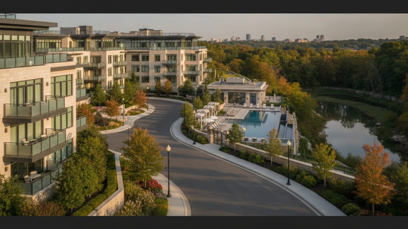 Communities
Quarry Springs in Bethesda, MD offers resort-style luxury condo living steps from the DC Metro — here's everything buyers need to know before making a move.
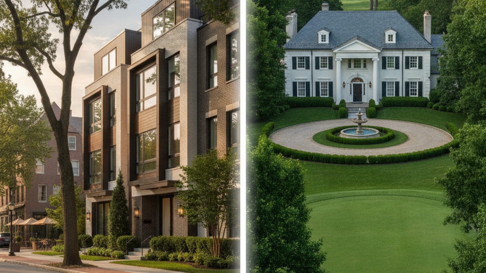 Communities
Walkable downtown Bethesda or estate-lot Potomac? This definitive comparison covers schools, commutes, price bands, lot sizes, and housing stock in each community.
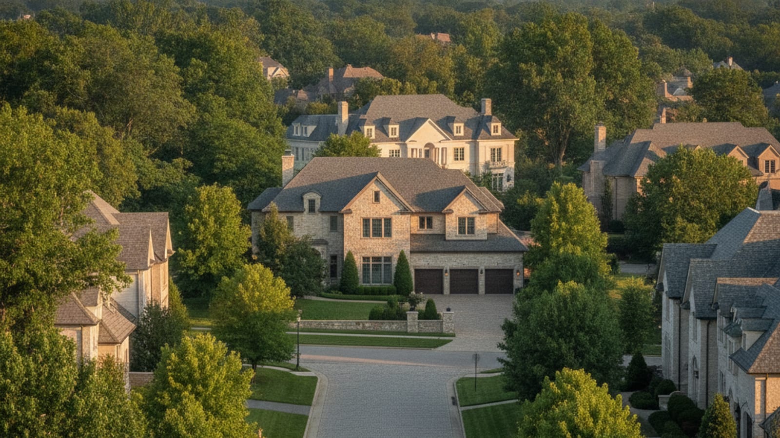 Communities
Bright MLS's August 2026 figures by jurisdiction, and what each of 16 areas around Washington offers by home type, lot and setting.
Browse current listings, or reach Artur directly for private and off-market opportunities.
Three broad groups. Downtown: condominium and apartment high-rises, many of them built in the 2000s or later, plus older garden-style buildings around Battery Lane. The streetcar-era and interwar subdivisions: Woodmont from 1894, Edgemoor and Bradley Hills from 1912, Greenwich Forest from the 1930s. And the postwar single-family neighborhoods, including Burning Tree Valley and Burning Tree Estates from the early 1950s, where replacement construction is common enough that the standing house is often much newer than the subdivision. Compare the recorded year built with what is actually on the lot.
No. Bethesda is an unincorporated census-designated place, so Montgomery County and the Maryland-National Capital Park and Planning Commission handle zoning, permits and services; the Bethesda Urban Partnership, created by the county in 1994, manages and markets the downtown but is not a municipality. Nearby Chevy Chase Village, the Town of Chevy Chase and the Town of Kensington are incorporated and do have their own governments and rules — Kensington, for instance, is one of three towns outside the county’s mandatory pre-sale radon testing law.
Montgomery County Public Schools organizes assignments by cluster, and the high schools with Bethesda addresses include Bethesda-Chevy Chase, Walt Whitman and Walter Johnson. Cluster boundaries do not follow the census place line, so the assignment for a given address is the only thing that matters. Assignments are changing: on March 26, 2026 the Board of Education voted 7-1 to adopt new high school boundaries tied to the reopening of Charles W. Woodward High School at 11211 Old Georgetown Road in Rockville. Ninth and tenth graders move in the 2027-28 school year while juniors and seniors stay at their current schools, with full implementation in 2029-30. Confirm the current assignment for a specific address with the MCPS school assignment tool before relying on it.
It gives Bethesda an east-west rail connection to Silver Spring, College Park and New Carrollton without routing through DC, on a 16-mile, 21-station light rail line. The Bethesda terminus was built into the former Apex Building site at 7272 Wisconsin Avenue, adjacent to the Red Line station, and the same works are rebuilding the Capital Crescent Trail east of downtown. As of August 2026, the MTA project FAQ stated service is expected to open in Winter 2027 while the project overview page said late 2027, and the project was reported 88.8% complete as of April 2026.
Three things most often. Taxes: Maryland state transfer tax plus a county transfer tax and a price-tiered county recordation tax, with first-time-buyer relief, priced from the county’s current schedule. Disclosure: under Maryland Real Property Section 10-702 a seller delivers either a disclosure of known defects or an "as is" disclaimer, and known latent defects must be disclosed either way. And radon: since October 1, 2016 Montgomery County has required a pre-sale radon test on detached houses and townhouses, performed within a year of settlement, with condominium and cooperative units excluded.
Browse current Bethesda listings below, or contact Artur Guney of eXp Realty at (703) 402-7500 to walk a specific block, check whether a property sits inside the Bethesda Overlay Zone or a designated historic district, and review the association documents within the Maryland rescission window. Artur Guney is a licensed real estate agent in Virginia, Maryland and the District of Columbia, affiliated with eXp Realty. Equal Housing Opportunity.
Which schools serve an address in Bethesda, how the feeder structure works, and the district's own boundary locator.
Schools serving Bethesda →Independent day schools serving Bethesda, where the campuses are, and which run buses — the one part of private schooling that depends on your address.
Private schools in Montgomery County, Maryland →The parks, trails, shopping and recreation around Bethesda — every venue confirmed open as of August 2026.
Parks, shopping & recreation in Bethesda →Each has its own plat history, lot pattern and association rules. 15 covered in detail:
Bradmoor's home count comes from the neighborhood itself rather than from a county record: correspondence from the Bradmoor Neighborhood Association puts the community at 449 homes. That association is voluntary, and it is a recent revival — it lapsed into dormancy and was brought back in 2013. It runs no architectural review committee and enforces no covenants, so what can be built, added or torn down here is governed by Montgomery County zoning and the historic, tree, ADU and corridor rules described earlier on this page, not by a private board. Bradmoor adjoins Huntington Terrace, and the two associations run events together, which is part of why listing records blur the line between them. Almost everything else a buyer would want fixed — the mapped boundary, the build-out years, the builders, typical lot dimensions, the school assignment — is unpublished. Take those from the recorded plat and county GIS for the specific address, not from an MLS subdivision field.
The plat and the houses here are from different decades, and that gap explains the streetscape. Huntington Terrace was established in 1910 and marked its centennial in 2010, but much of the standing stock dates to the late 1930s, with newer infill layered in since. Its boundaries are Old Georgetown Road, Greentree Road, Roosevelt Street and Garfield Street, enclosing roughly 300 homes. The association is voluntary and dues are $20, but it does something most voluntary Bethesda associations do not: it maintains a legal fund for land-use matters. That is a practical thing to know before drawing an addition or planning a teardown, since the county permit rules above are the formal constraint and organized neighborhood participation in land-use cases is the informal one. Lot sizes and any recorded covenants are not published by the association, so pull them from the plat, and confirm the MCPS assignment for the exact address rather than for the neighborhood.
Search the name on its own and you will get Fairfax County; this Springfield is the 20816 neighborhood between River Road and Massachusetts Avenue, reaching from Wood Acres across to Westbard. The Springfield Civic Association, which is voluntary, puts it at more than 650 households. Its genuinely distinguishing feature is circulation rather than housing: seven or more pedestrian footpaths cut between streets, linking blocks the street layout otherwise keeps apart, which is worth walking before judging the location from a map. The association names Wood Acres Elementary, Westland or Pyle Middle and Whitman High School; the middle school line splits within the area, and the county's new high school boundaries phase in from the 2027-28 year, so verify the assignment for a specific address with the MCPS tool. Platting year, builder and architectural styles are not sourced from any record — treat a listing that states them as unverified until the recorded plat is checked.
Two corrections do most of the work on Westboro. It sits beside Westmoreland Circle but is not one of the six communities under the Westmoreland Citizens Association — Westgate, Overlook, Spring Hill, Westhaven, Westmoreland Hills and Yorktown Village — so nothing that association operates, from its dues to the Little House, attaches to an address here. And the 1936 origin date that circulates on listing sites has no source of record behind it; if the year matters, it has to come off the recorded plat. What is established is the housing: predominantly mid-century detached homes in the 20816 ZIP. There is no HOA, no covenant regime and no historic designation, so county zoning and the permit rules set out above are the only thing standing between a lot and an addition or a rebuild, which is why replacement construction turns up mid-block. In search, the name also collides with Westborough, Massachusetts.